Easy-To-Use Agricultural Solutions
How it works?
With comprehensive DJI agriculture solutions, operating in broadacre farmlands, orchards, or grasslands, has become a lot simpler. The combination of the T20 and these comprehensive solution packages elevates the possibilities of drones in the agricultural industry.
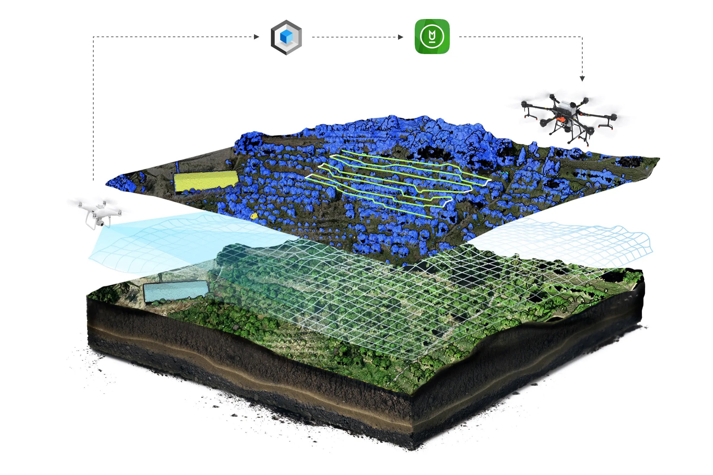
3D Flight Route Planning
Navigating through challenging terrains is now an issue of the past, thanks to a 3D flight route solution. The Phantom 4 RTK scans and maps target areas, making it easier to identify all aspects of the field. In Orchard mode, 3D flight routes can be generated based on the shapes of each tree after they are identified. Afterward, users can conduct efficient spraying with their T20.

Introducing
Agras T20
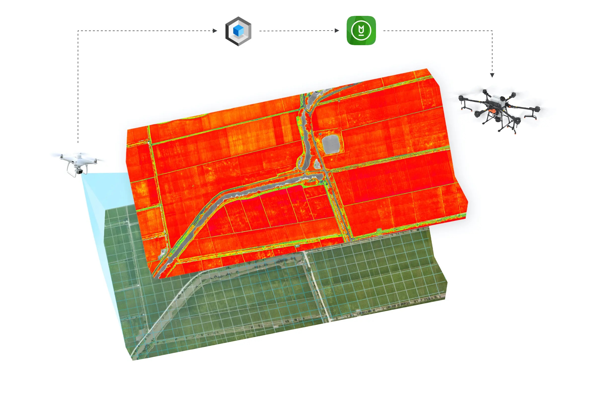
Precision Farming
Our agricultural solution packages are designed to monitor crop health and generate variable treatment procedures. The P4 Multispectral scans target areas and generates multispectral charts that provide actionable insights into crop health and help formulate variable spraying and seeding maps. `{`4`}` Through the DJI Agriculture Management Platform, users can access DJI Terra shapefiles and apply them to spraying and seeding operations.

Let's Talk


